Uncovering the hidden networks of location scouts securing uncharted sites for post-apocalyptic film shoots
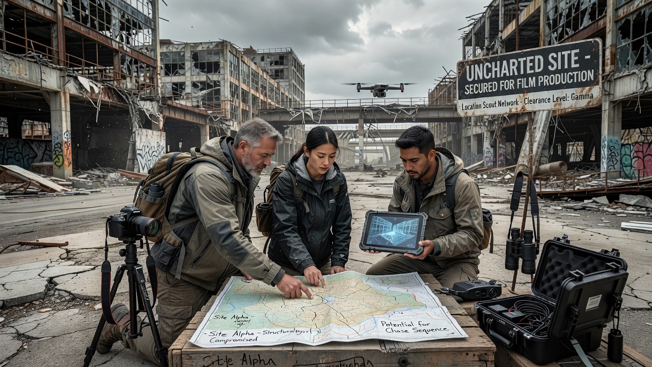
Location scouts operate through interconnected networks that span independent contractors, local fixers, and specialized agencies when they identify sites for post-apocalyptic productions, and these professionals combine satellite data analysis with on-the-ground reconnaissance to locate areas that remain off standard maps. Data from industry reports shows that productions increasingly target abandoned industrial zones, remote deserts, and former military installations because such places provide authentic decay without extensive set construction.
Building the networks that locate isolated terrain
Scouts maintain relationships with regional landowners, environmental consultants, and government land offices across multiple continents, while they share leads through private databases that track permits and access restrictions. Observers note that these connections allow teams to bypass public listings and secure permissions for areas that have seen minimal human activity in recent decades. Research indicates that networks often include former geologists and cartographers who interpret geological surveys to pinpoint locations with the right combination of erosion patterns and structural remnants.
Coordinators in Australia have documented increased requests for outback sites since 2024, and similar patterns appear in Canadian provinces where abandoned mining operations sit unused. Production schedules planned for July 2026 already list several such locations under provisional permits, according to filings with regional film commissions.
Techniques for verifying uncharted suitability
Teams begin with high-resolution satellite imagery from commercial providers, then cross-reference that data against historical land records to confirm isolation levels. Once candidates emerge, scouts conduct multi-day expeditions that test road access, water sources, and cellular coverage before any filming commitment. Those who've studied this process find that drone surveys often follow initial visits, creating detailed 3D models that directors review during pre-production.
Environmental assessments form a required step because many target sites fall under protected status, and agencies in the European Union require separate evaluations for biodiversity impact. One study revealed that scouts who integrate climate data reduce weather-related delays by coordinating shoots around seasonal patterns in arid regions.
Regulatory hurdles and access negotiations
Negotiations with authorities range from simple day permits to multi-year agreements when sites sit on federal land, and scouts frequently work with legal teams to address liability concerns tied to unstable structures. Data shows that productions filming in July 2026 must account for updated drone flight restrictions in several jurisdictions, which affects how teams document potential locations beforehand.
Industry organizations such as the Location Managers Guild International publish guidelines that help standardize these processes across borders. Scouts also consult databases maintained by natural resource departments in different countries to identify zones closed to public entry yet open to permitted commercial activity.
Case examples from recent productions
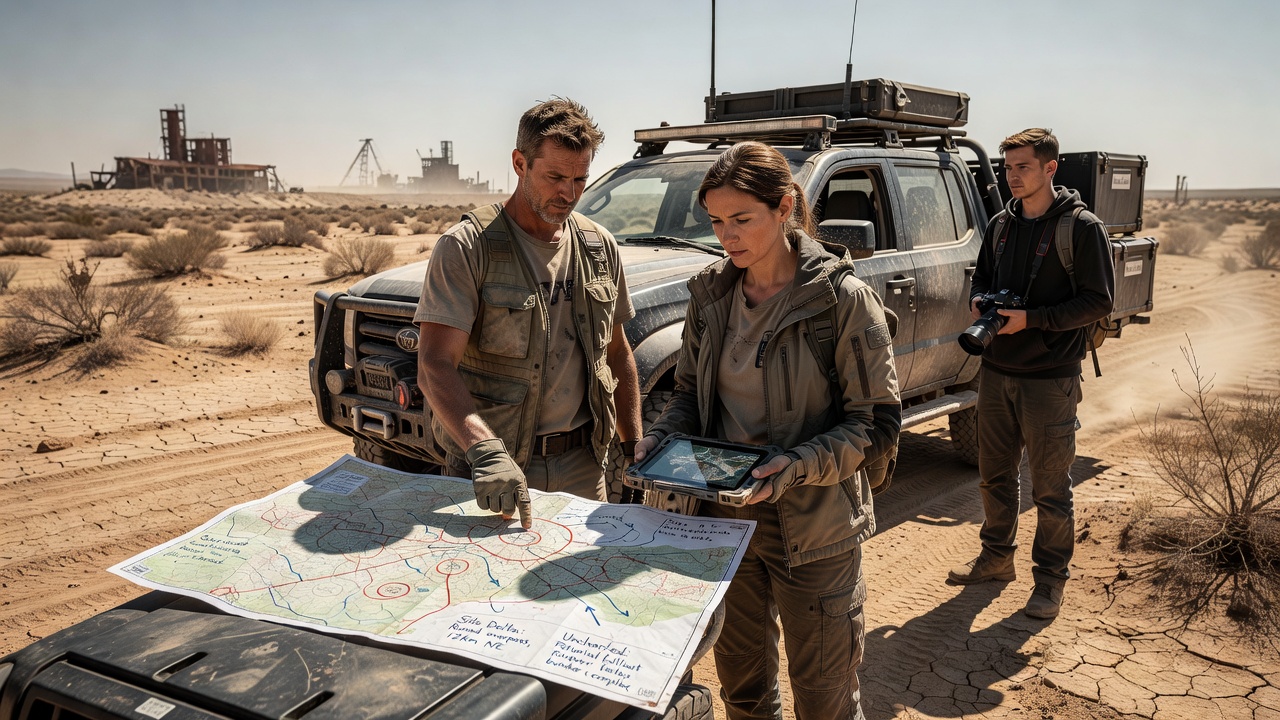
Take one production that filmed in a decommissioned Nevada test range in 2025; scouts there collaborated with local ranchers who provided alternate access routes after official roads proved impassable. Similar coordination occurred in parts of Patagonia where Argentine authorities granted limited entry to volcanic fields previously used only for scientific research. Those who've examined permit logs observe that successful projects maintain ongoing relationships with the same local contacts across multiple films.
What's interesting is how digital tools now supplement traditional methods, with mapping software allowing remote teams to flag new candidates as satellite imagery updates. Production companies report that these combined approaches cut scouting timelines by weeks compared with earlier decades when physical exploration dominated every step.
Technology integration and future developments
Artificial intelligence assists in pattern recognition across large image datasets, highlighting locations that match visual criteria for ruined urban or barren wasteland environments. Yet human scouts still perform final verification because software cannot assess subtle factors like sound pollution from distant highways or seasonal wildlife migration. Reports from research institutions indicate that hybrid workflows will expand further by July 2026 as more productions adopt cloud-based collaboration platforms.
Training programs offered through film schools now include modules on geospatial analysis, preparing new scouts for the technical demands of identifying uncharted sites. Networks continue to evolve as productions seek fresh locations that audiences have not seen in previous genre entries.
Conclusion
The infrastructure supporting location discovery for post-apocalyptic films relies on layered relationships, specialized tools, and persistent regulatory navigation, and these elements together enable access to sites that would otherwise remain unavailable. As production calendars advance into 2026 and beyond, the same networks adapt to new environmental data and policy changes while continuing to supply the isolated settings that define the genre.